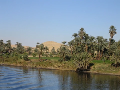
Ohio River
Major U.S. river, historic boundary and transportation route.

via Wikipedia: Ohio River · see source
The Ohio River is a 981-mile-long river in the United States, beginning in the Northeast and flowing in a southwesterly direction from Pittsburgh, Pennsylvania, to its mouth on the Mississippi River at Cairo, Illinois. It serves as the boundary between the Midwestern and Southern United States and is the third largest river by discharge volume in the country, as well as the largest tributary by volume of the Mississippi River. It is also the sixth oldest river on the North American continent. The river flows through or along the border of six states, and its drainage basin includes parts of 14 states. It is the source of drinking water for five million people. The Ohio River is a climatic transition area, running along the periphery of humid continental and humid subtropical climates, and is inhabited by fauna and flora of both.
- Length
- 981 miles (1,579 km)
- Discharge rank
- Third largest by discharge volume in the United States
- Tributary rank
- Largest tributary by volume of the Mississippi River
- Age rank
- Sixth oldest river on the North American continent
- States flowed through or along
- 6
- States in drainage basin
- 14
- People served as drinking water source
- 5 million
Lore & Background
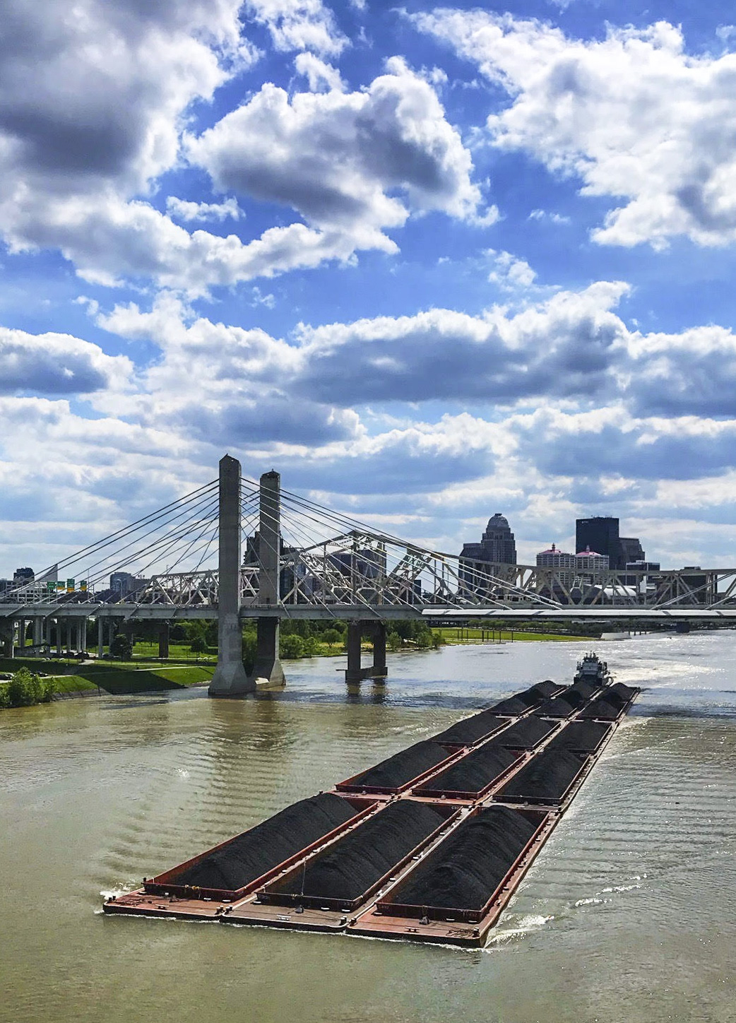
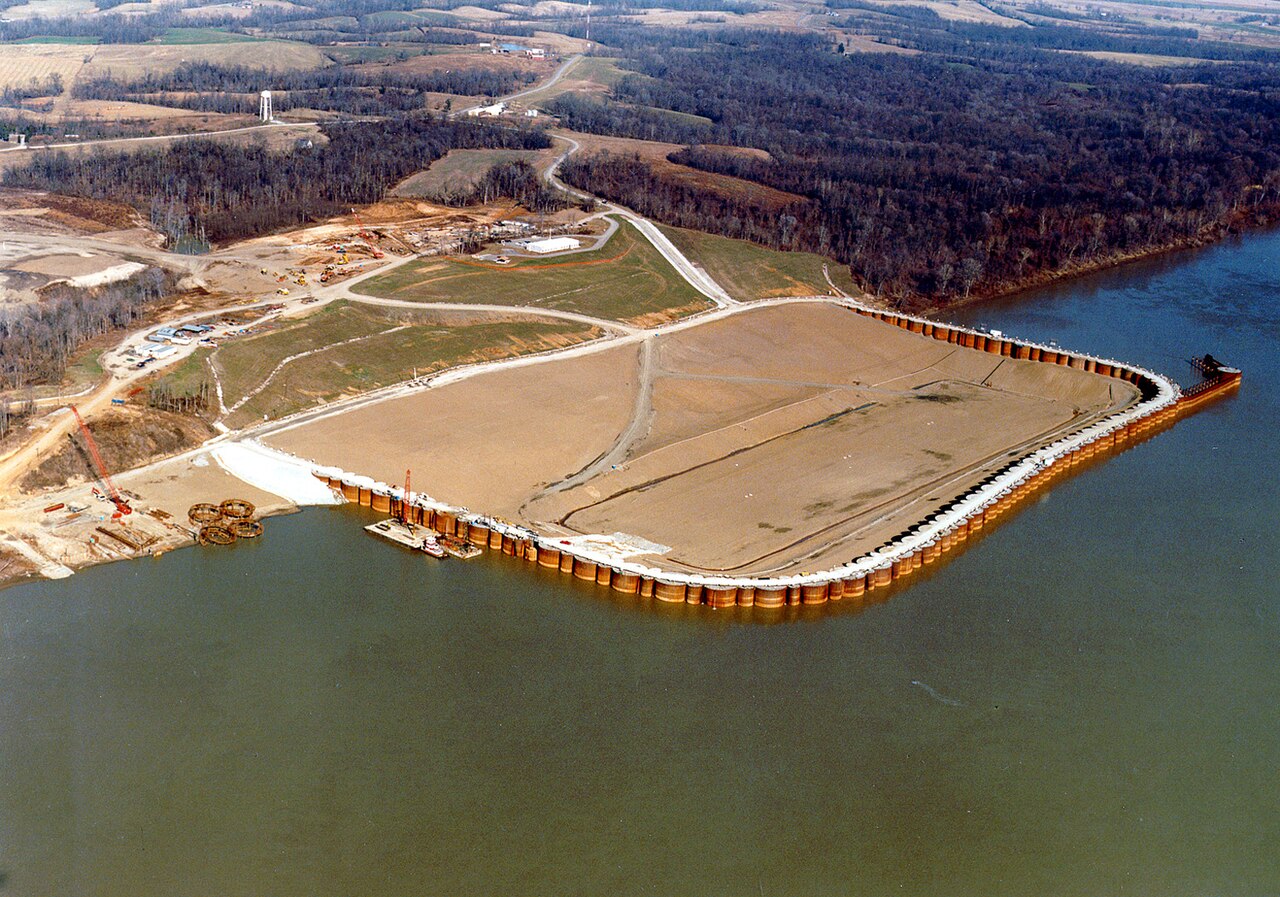
The name 'Ohio' comes from the Seneca word Ohi:yo', meaning 'good river'. Thomas Jefferson in his Notes on the State of Virginia published in 1781–82 called it 'the most beautiful river on earth. Its current gentle, waters clear, and bosom smooth and unbroken by rocks and rapids, a single instance only excepted.' After the French and Indian War, Britain's trans-Appalachian Indian Reserve was divided by the river into colonial lands to the south and Native American lands to the north, later becoming part of the British Province of Quebec. During the American Revolution in 1778, militia crossed the river to take it from the British. In the late 18th century, the river became the southern boundary of the U.S. Northwest Territory. In the early 19th century it was considered the western extension of the Mason–Dixon line that divided Pennsylvania from Maryland, and thus part of the border between free and slave territory, and between the Northern and Southern United States or Upland South. Where the river was narrow, it was crossed by thousands of slaves escaping to the North for freedom; many were helped by free blacks and whites of the Underground Railroad resistance movement. The lower Ohio River just below Louisville was obstructed by rapids known as the Falls of the Ohio where the elevation falls 26 feet (7.9 m) in 2 miles (3.2 km) restricting larger commercial navigation, although in the 18th and early 19th century its three deepest channels could be traversed by a wide variety of craft then in use. In 1830, the Louisville and Portland Canal (now the McAlpine Locks and Dam) bypassed the rapids, allowing even larger commercial and modern navigation from the Forks of the Ohio at Pittsburgh to the Port of New Orleans at the mouth of the Mississippi on the Gulf of Mexico. Since the 'canalization' of the river in 1929, the Ohio has not been a natural free-flowing river; today, it is divided into 21 discrete pools or reservoirs by 20 locks and dams for navigation and power generation. Today, the Ohio River is one of the most polluted rivers in the United States. The Ohio has faced significant industrial pollution historically along with farm runoff.
Reader's Guide
The Ohio River has played a central role in American history as a geographic, political, and cultural boundary. It separated colonial lands to the south from Native American lands to the north after the French and Indian War, later forming part of the border between free and slave territory. Its waters carried pioneers westward during the early U.S. and provided an escape route for thousands of enslaved people crossing to the North, aided by the Underground Railroad. The river's canalization in 1929 transformed it from a natural free-flowing river into a managed system of 21 pools and 20 locks and dams, enabling modern commercial navigation from Pittsburgh to New Orleans. Despite its historical importance, the Ohio River is now one of the most polluted rivers in the United States due to industrial pollution and farm runoff. Its drainage basin covers parts of 14 states, and it supplies drinking water to five million people. The river remains a vital economic artery and a symbol of the nation's expansion and division.
Did You Know?
- The name 'Ohio' comes from the Seneca word Ohi:yo', meaning 'good river'.
- Thomas Jefferson called the Ohio 'the most beautiful river on earth' in his Notes on the State of Virginia published in 1781–82.
- The Falls of the Ohio near Louisville drop 26 feet (7.9 m) in 2 miles (3.2 km), restricting larger commercial navigation until the Louisville and Portland Canal bypassed them in 1830.
- Since 1929, the Ohio River has been canalized into 21 pools by 20 locks and dams for navigation and power generation.
- The Ohio River is a climatic transition area, running along the periphery of humid continental and humid subtropical climates.
Gallery
Frequently Asked Questions
Who is the Ohio River?
The Ohio River is a 981-mile waterway in the eastern United States that begins at the confluence in Pittsburgh, Pennsylvania, and travels westward until it meets the Mississippi at Cairo, Illinois. It threads along or through six states and drains a basin spanning fourteen.
What is the Ohio River's role?
It has long functioned as a natural border dividing the Midwest from the South and served as a critical water highway for settlers pushing westward in the 18th and 19th centuries. Today it remains a major commercial shipping corridor.
How does the Ohio River's story end?
Its journey concludes at Cairo, Illinois, where it empties into the Mississippi River, becoming the single largest tributary by volume that feeds into that system.
Why is the Ohio River important?
Ranked as the third-highest discharge river in the country and the sixth-oldest on the North American continent, it carries enormous ecological and historical weight. Its waters have shaped settlement patterns, trade, and the very political boundaries of the states it touches.
What are the Ohio River's key stats?
At 981 miles (about 1,579 km) long, it ranks third in U.S. discharge volume and holds the top spot as the Mississippi's biggest tributary by flow. It passes through or alongside six states and drains fourteen.
More in Rivers Of The World 1-20
Spotted an error? Know more?
This is a living reference — every entry is fact-audited, and reader corrections feed straight into our audit queue. Suggest an edit · See this site's audit record