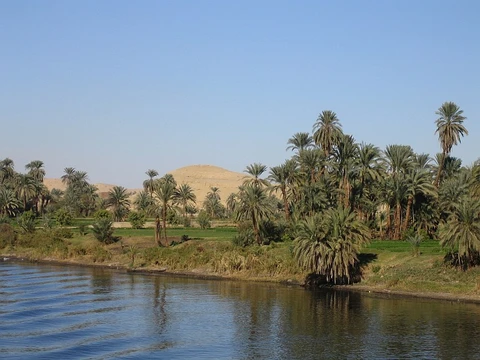
Lena River
Easternmost of Siberia's three great Arctic rivers, longest entirely within Russia.

via Wikipedia: Lena River · see source
The Lena is a river in the Russian Far East and is the easternmost river of the three great rivers of Siberia which flow into the Arctic Ocean, the others being Ob and Yenisey. The Lena River is 4,294 km (2,668 mi) long and has a capacious drainage basin of 2,490,000 km² (960,000 mi²); thus the Lena is the eleventh-longest river in the world and the longest river entirely within Russia. Geographically, permafrost underlies all the Lena River's catchment and it is continuous in over 75 percent of the basin.
- length
- 4,294 km (2,668 mi)
- drainage_basin
- 2,490,000 km² (960,000 mi²)
- source_elevation
- 1,640 m (5,381 ft)
- mean_annual_discharge
- 489 km³ per year
- delta_area
- 30,000 km² (12,000 mi²)
- navigable_length
- 3,540 km
- permafrost_coverage
- continuous in over 75% of basin
Verified Timeline
Lore & Background
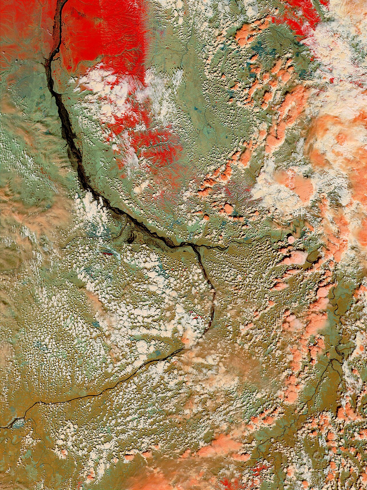
The Lena originates at 1,640 meters (5,381 ft) of elevation in the Baikal Mountains, 7 kilometres (4 mi) west of Lake Baikal. It flows north-east and traverses the Lena-Angara Plateau, then is joined by three tributary rivers: the Kirenga, the Vitim, and the Olyokma. From Yakutsk, the Lena enters the Central Yakutian Lowland and flows north until joined by the eastern tributary, the Aldan River, and the western tributary, the Vilyuy River. Afterwards, the Lena bends westwards and northwards, flowing between the mountains of the Kharaulakh Range to the east and the Chekanovsky Ridge to the west. Travelling approximately due north, the Lena widens into a great river delta that merges into the Laptev Sea. The Lena Delta is 30,000 square kilometres (12,000 sq mi) in area, traversed by seven main branches, the most important being the Bykovsky channel, farthest east. According to folktales related a century later, in the years 1620–1623 a party of Russian fur hunters under Demid Pyanda sailed up Nizhnyaya Tunguska, discovered the Lena, and either carried their boats there or built new ones. In 1623 Pyanda explored some 2,400 kilometres (1,500 mi) of the river from its upper reaches to central Yakutia. In 1628 Vasily Bugor and 10 men reached the Lena, collected 'yasak' (tribute) from the 'natives' and then founded Kirinsk in 1632. In 1631 the voyevoda of Yeniseysk sent Pyotr Beketov and 20 men to construct a fortress at Yakutsk (founded in 1632). The Lena delta was reached in 1655. Two of the three groups of survivors of the ill-fated Jeannette expedition reached Lena Delta in September, 1881. The one led by engineer George W. Melville was rescued by native Tungus huntsmen. Of the group led by Captain George W. De Long, only two of the men survived; the others died of starvation. Baron Eduard Von Toll, accompanied by Alexander von Bunge, led an expedition that explored the Lena delta and the islands of New Siberia on behalf of the Russian Imperial Academy of Sciences in 1885. The Lena massacre was the name given to the 1912 shooting-down of striking goldminers and local citizens who protested at the working conditions in the mine near Bodaybo in northern Irkutsk. Vladimir Ilyich Ulyanov, when he was exiled to the Central Siberian Plateau, may have taken his alias, Lenin, from the Lena River.
Reader's Guide
The Lena is navigable over a length of 3540 kilometres. The annual navigation period, when ice is minimally present or absent, lasts about 70 days in the estuarine region and 125 days elsewhere. The area of the Lena River basin is calculated at 2,490,000 square kilometres (960,000 sq mi) and the mean annual discharge is 489 cubic kilometers per year. Gold is washed out of the sands of the Vitim and the Olyokma, and mammoth tusks have been dug out of the delta. There are numerous lakes in the floodplain of the river. Lakes Nedzheli and Ulakhan-Kyuel are the largest in the basin of the Lena. At the end of the Lena River there is a large delta that extends 100 kilometres (62 mi) into the Laptev Sea and is about 400 km (250 mi) wide. The delta is frozen tundra for about seven months of the year, but in May the region is transformed into a lush wetland for a few months. Part of the area is protected as the Lena Delta Wildlife Reserve. Fyodor Matisen mapped the delta. As Lena is located at remote and undeveloped regions of the Russian Far East, its fish resource is very well preserved. Some of the species found in the river include: Siberian taimen, Siberian sturgeon, Upper Yenisei grayling. It is commonly believed that the Lena derives its name from the original Even-Evenk name Elyu-Ene, which means 'the Large River'.
Did You Know?
- The Lena is the eleventh-longest river in the world and the longest river entirely within Russia.
- Permafrost underlies all the Lena River's catchment and is continuous in over 75 percent of the basin.
- The Lena Delta is 30,000 square kilometres (12,000 sq mi) in area, traversed by seven main branches, the most important being the Bykovsky channel.
- In 1881, survivors of the ill-fated Jeannette expedition reached the Lena Delta; one group was rescued by native Tungus huntsmen.
- Vladimir Ilyich Ulyanov may have taken his alias, Lenin, from the Lena River.
Geography and the River's Journey
The Lena River stands as the easternmost of Siberia's three great Arctic-bound waterways, alongside the Ob and Yenisey. Stretching 4,294 kilometres, it ranks as the eleventh-longest river on Earth and holds the distinction of being the longest river whose entire course lies within a single nation—Russia. Its source sits at 1,640 metres elevation in the Baikal Mountains, just seven kilometres west of Lake Baikal, south of the Central Siberian Plateau. From there the river carves a northeastward path across the Lena-Angara Plateau, gathering the Kirenga, Vitim, and Olyokma as tributaries. Past Yakutsk it plunges into the Central Yakutian Lowland, where the Aldan and Vilyuy join its flow before it bends westward and then northward, threading between the Kharaulakh Range and the Chekanovsky Ridge. The entire 2.49-million-square-kilometre catchment rests on permafrost, which is continuous across more than three-quarters of the basin. The river is navigable for 3,540 kilometres, with ice-free windows lasting roughly 70 days near the estuary and 125 days further upstream.
Russian Expansion and Early Exploration
The river's name likely descends from the Even-Evenk term Elyu-Ene, translating simply as 'the Large River.' Russian contact with the Lena began in the early 1620s when fur hunter Demid Pyanda, travelling up the Nizhnyaya Tunguska, stumbled upon the waterway. By 1623 he had pushed roughly 2,400 kilometres from its upper reaches into central Yakutia. In 1628, Vasily Bugor led ten men to the river, collected tribute known as yasak from local peoples, and in 1632 established the settlement of Kirinsk. That same year, Pyotr Beketov and twenty men raised a fortress at Yakutsk, which became a springboard for further expeditions southward and eastward. The delta itself was not reached until 1655. A century later, the Lena Delta became a stage for dramatic survival: in September 1881, two groups of survivors from the wrecked American Jeannette expedition washed ashore there. Melville's party was rescued by Tungus huntsmen, while of De Long's group only two men survived the ordeal. In 1885, Baron Eduard Von Toll and Alexander von Bunge, working for the Russian Imperial Academy of Sciences, explored the delta and the New Siberian Islands, covering 25,000 kilometres in just over a year, including 4,200 kilometres by river.
The Delta: Islands, Seasons, and Wildlife
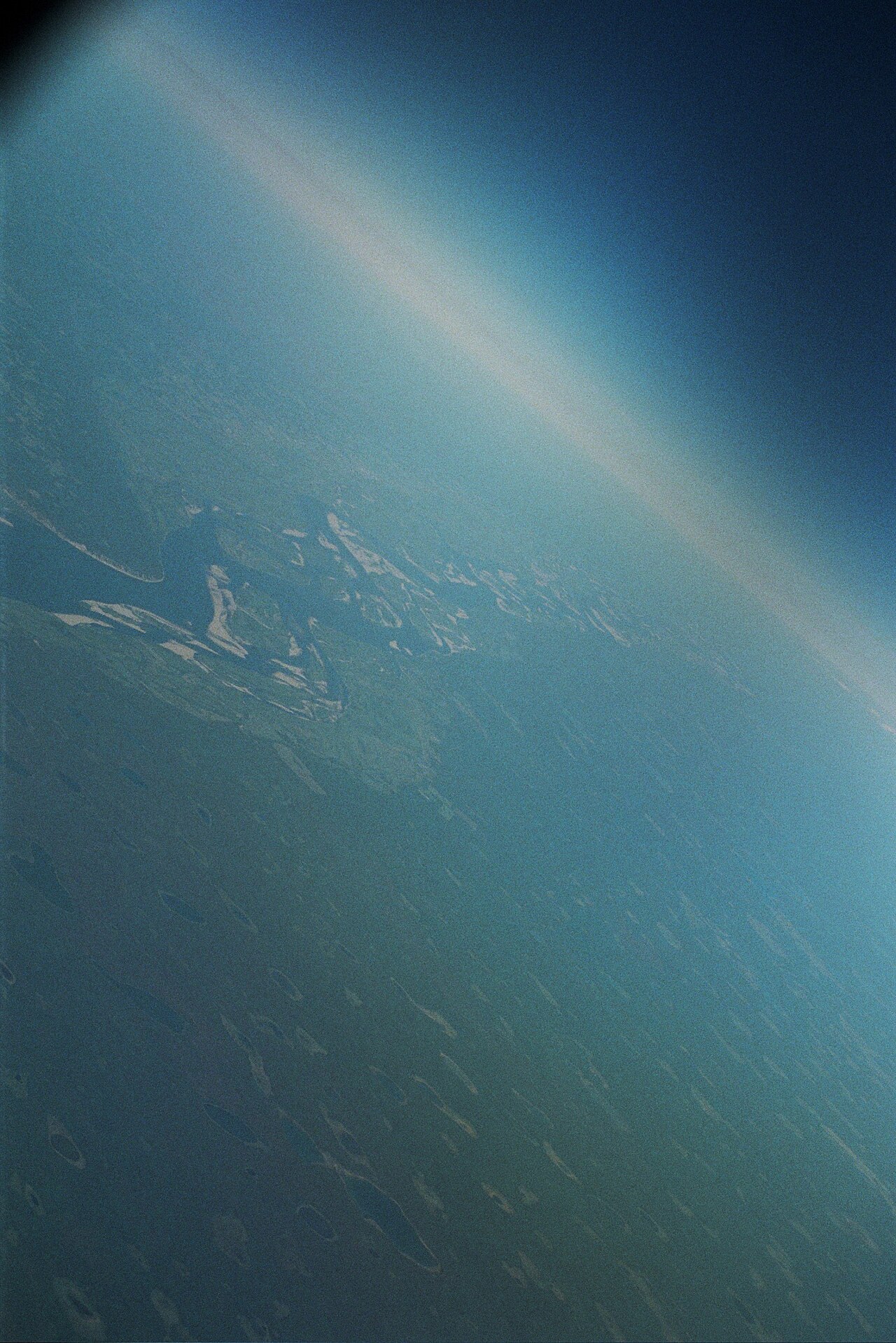
Where the Lena meets the Laptev Sea, it fans out into a vast delta spanning 30,000 square kilometres, extending roughly 100 kilometres into the sea and stretching about 400 kilometres in width. Seven principal channels thread through the delta, the most significant being the Bykovsky, which runs along the easternmost edge. The landscape is a study in extremes: for approximately seven months each year the region is locked in frozen tundra, yet by May the ice retreats and the area transforms into a lush, teeming wetland for a brief summer window. Part of this zone is safeguarded as the Lena Delta Wildlife Reserve. The delta shatters into a mosaic of flat islands, the largest being Arga Muora Sise, which ranks as the 99th-largest island globally. Other notable landmasses include the long, narrow Turukannakh-Kumaga off the western shore and Ostrov Kuba-Aryta on the northern fringe—a name that may honour Cuba from the Soviet era or, alternatively, derive from the Yakut word for swan. Fyodor Matisen produced the first detailed maps of this region, and mammoth tusks have been excavated from its sediments.
Human Legacy: Gold, Tragedy, and a Name
Beyond its physical grandeur, the Lena has been woven into Russia's social and political history. Gold has long been panned from the sands of the Vitim and Olyokma tributaries, and the river's remoteness has kept its fish populations remarkably intact, harbouring species such as Siberian taimen, Siberian sturgeon, and Upper Yenisei grayling. Yet the river's name also carries a darker chapter. In 1912, near the mining town of Bodaybo in northern Irkutsk, authorities opened fire on striking goldminers and local citizens protesting harsh working conditions. The incident, later reported in the Duma by Kerensky, is widely credited with fuelling revolutionary sentiment across the empire. Perhaps most poignantly, Vladimir Ilyich Ulyanov—exiled to the Central Siberian Plateau—may have borrowed his famous alias 'Lenin' directly from the river that flows not far from his place of banishment. The Lena thus endures not only as a geographic colossus but as a symbol threaded through Russian identity, from the fur hunters of the 1620s to the revolutionaries of the twentieth century.
Gallery
Frequently Asked Questions
Who is the Lena River?
The Lena is a major waterway in Russia's Far East and the easternmost of the three great Siberian rivers that drain into the Arctic. It holds the distinction of being the longest river whose entire course lies within a single nation's borders.
What are the Lena River's key measurements?
At 4,294 km in length with a drainage basin of roughly 2.49 million square kilometers, the Lena is a massive waterway. Its source sits at 1,640 m elevation, and it releases approximately 489 cubic kilometers of water into the sea each year.
How does the Lena River's journey end?
After traveling north-east through permafrost regions, the Lena fans out into a broad delta spanning about 30,000 square kilometers before meeting the Laptev Sea. This makes it one of the largest river deltas in the Arctic.
Why is the Lena River important to fans of world rivers?
It ranks in the top ten longest rivers globally and is the longest waterway entirely contained within one country. Around 3,540 km of its course is navigable, making it a critical transport artery for the Russian Far East.
Where does the Lena River start?
The river's source is in the Baikal Mountains at an elevation of 1,640 m (about 5,381 feet). From that high-altitude origin it carves a long path north-eastward across frozen tundra toward the Arctic.
More in Rivers Of The World 1-20
Spotted an error? Know more?
This is a living reference — every entry is fact-audited, and reader corrections feed straight into our audit queue. Suggest an edit · See this site's audit record