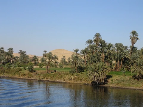
Niger River
Main river of West Africa, third-longest in Africa.

via Wikipedia: Niger River · see source
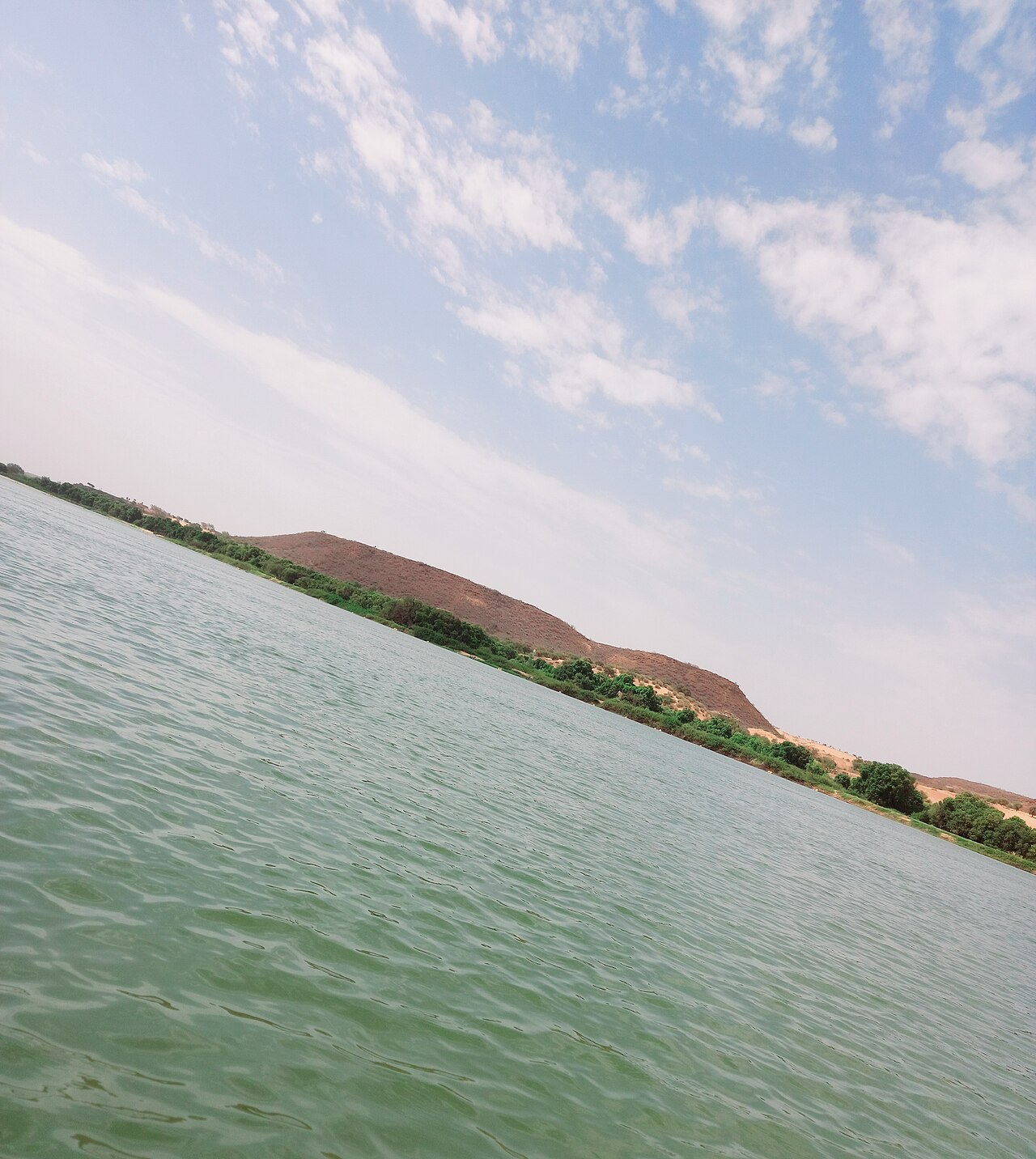
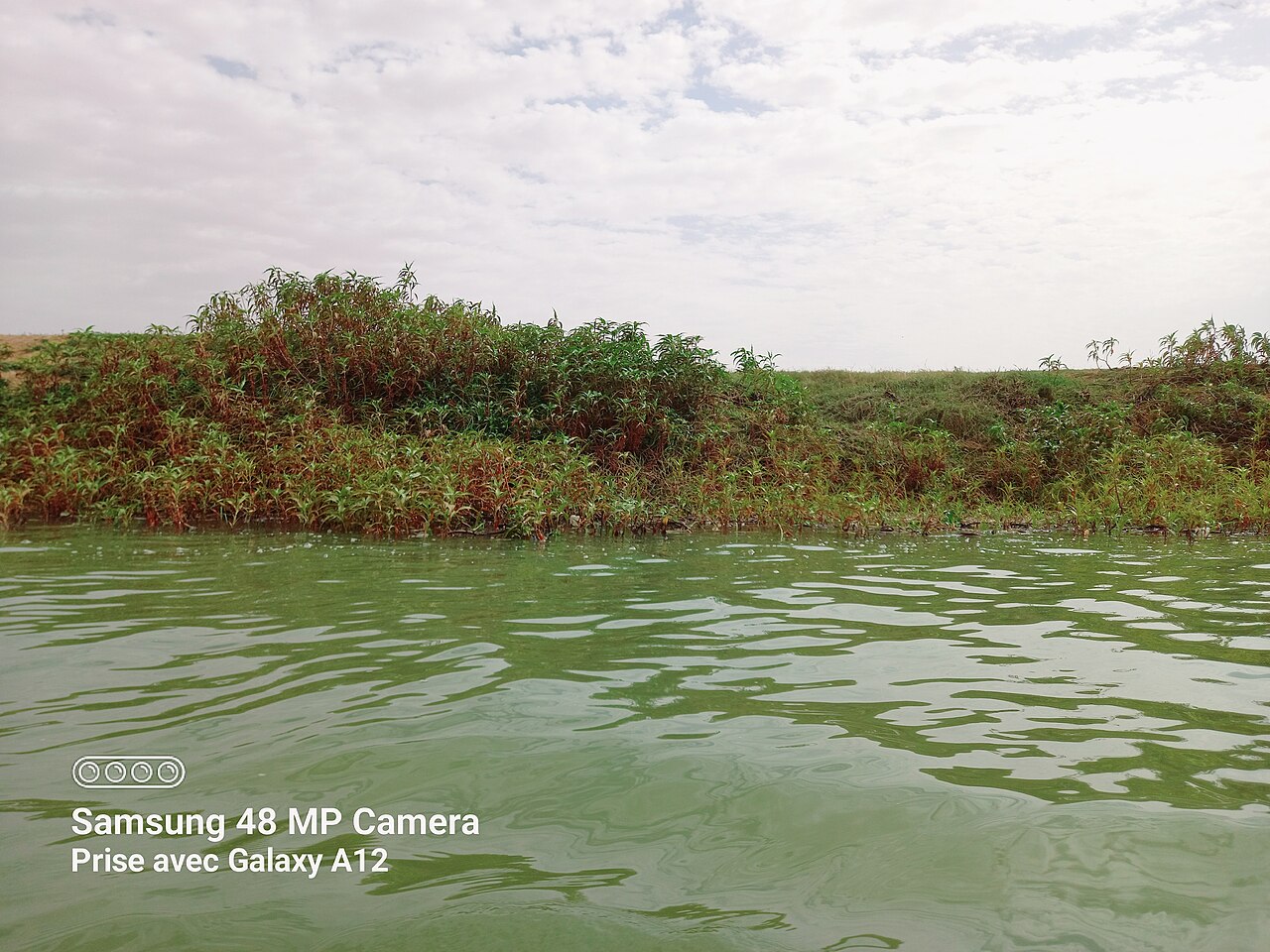
The Niger River is the main river of West Africa, extending about 4,180 kilometers (2,600 miles). It is the 14th-longest river in the world and the third-longest in Africa, after the Nile and the Congo. Its source is in the Guinea Highlands in southeastern Guinea near the Sierra Leone border, and it runs in a crescent shape through southwest Mali, southwest Niger, along the border with Benin, and through Nigeria, discharging through the Niger Delta into the Gulf of Guinea in the Atlantic Ocean. The river is notable for its unusual boomerang-shaped course, which baffled geographers for two centuries, and for the Inner Niger Delta, a region of braided streams, marshes, and large lakes that supports fishing and agriculture.
- Length
- about 4,180 km (2,600 mi)
- Drainage basin area
- 2,117,700 km² (817,600 sq mi)
- Source
- Guinea Highlands, southeastern Guinea
- Mouth
- Niger Delta, Gulf of Guinea, Atlantic Ocean
- Main tributary
- Benue River
- Rank in Africa
- third-longest
- Rank in world
- 14th-longest
Lore & Background
The Niger takes one of the most unusual routes of any major river, a boomerang shape that baffled geographers for two centuries. Its source is 240 km inland from the Atlantic Ocean, but the river runs directly away from the sea into the Sahara Desert, then takes a sharp right turn near the ancient city of Timbuktu and heads southeast to the Gulf of Guinea. This strange geography apparently came about because the Niger River is two ancient rivers joined together. The upper Niger, from the source west of Timbuktu to the bend near Timbuktu, once emptied into a now dry lake to the east northeast of Timbuktu, while the lower Niger started to the south of Timbuktu and flowed south into the Gulf of Guinea. Over time upstream erosion by the lower Niger resulted in stream capture of the upper Niger by the lower Niger. The river loses nearly two-thirds of its potential flow in the Inner Delta between Ségou and Timbuktu to seepage and evaporation. The average loss is estimated at 31 km³/year but varies considerably between years. The most important tributary is the Benue River, which merges with the Niger at Lokoja in Nigeria.
Reader's Guide
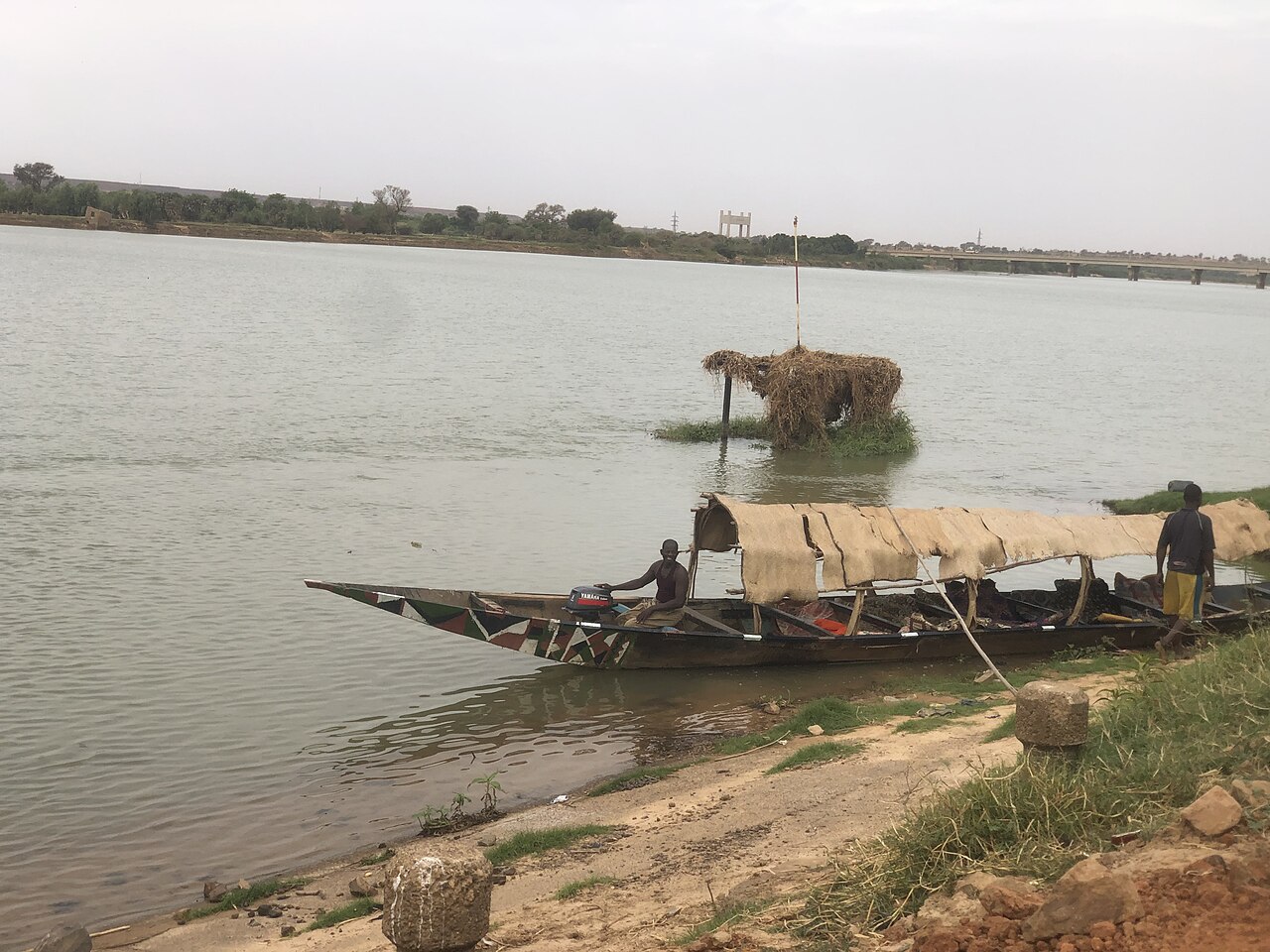
The Niger River has been central to the history and economy of West Africa. Its annual floods begin in September, peak in November, and finish by May, making the Inner Delta extremely productive for both fishing and agriculture. The region of the Niger bend, in the Sahel, was a key origin and destination for trans-Saharan trade, fueling the wealth of great empires such as the Ghana, Mali, and Songhai Empires. Major trading ports along the river, including Timbuktu and Gao, became centers of learning and culture. Trade to the Niger bend region also brought Islam to the region in approximately the 14th century CE. The modern nations of Nigeria and Niger take their names from the river, marking contesting national claims by colonial powers of the 'upper', 'lower', and 'middle' Niger river basin during the Scramble for Africa at the end of the 19th century. The river's true course remained a mystery to Europeans until the late 18th century. In June 1796 the Scottish explorer Mungo Park was the first European to lay eyes on the middle portion of the river since antiquity, and he wrote an account in 1799, Travels in the Interior of Africa.
Did You Know?
- The Niger carries only a tenth as much sediment as the Nile because its headwaters lie in ancient rocks that provide little silt.
- The river loses nearly two-thirds of its potential flow in the Inner Niger Delta between Ségou and Timbuktu to seepage and evaporation.
- The Niger's source is 240 km inland from the Atlantic Ocean, but the river initially runs directly away from the sea into the Sahara Desert.
- The name 'Niger' for the river was first used by Leo Africanus in his Description of Africa, published in Italian in 1550.
- The modern nations of Nigeria and Niger take their names from the river, reflecting colonial-era claims during the Scramble for Africa.
Gallery
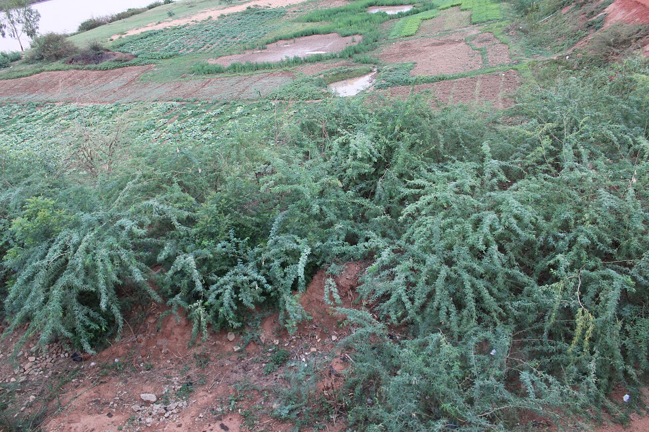
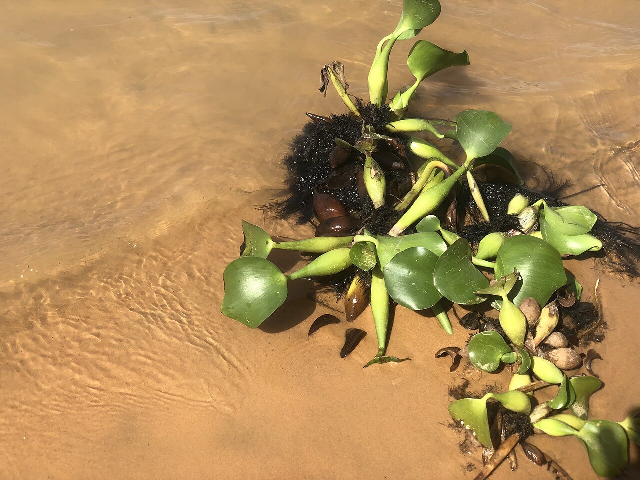
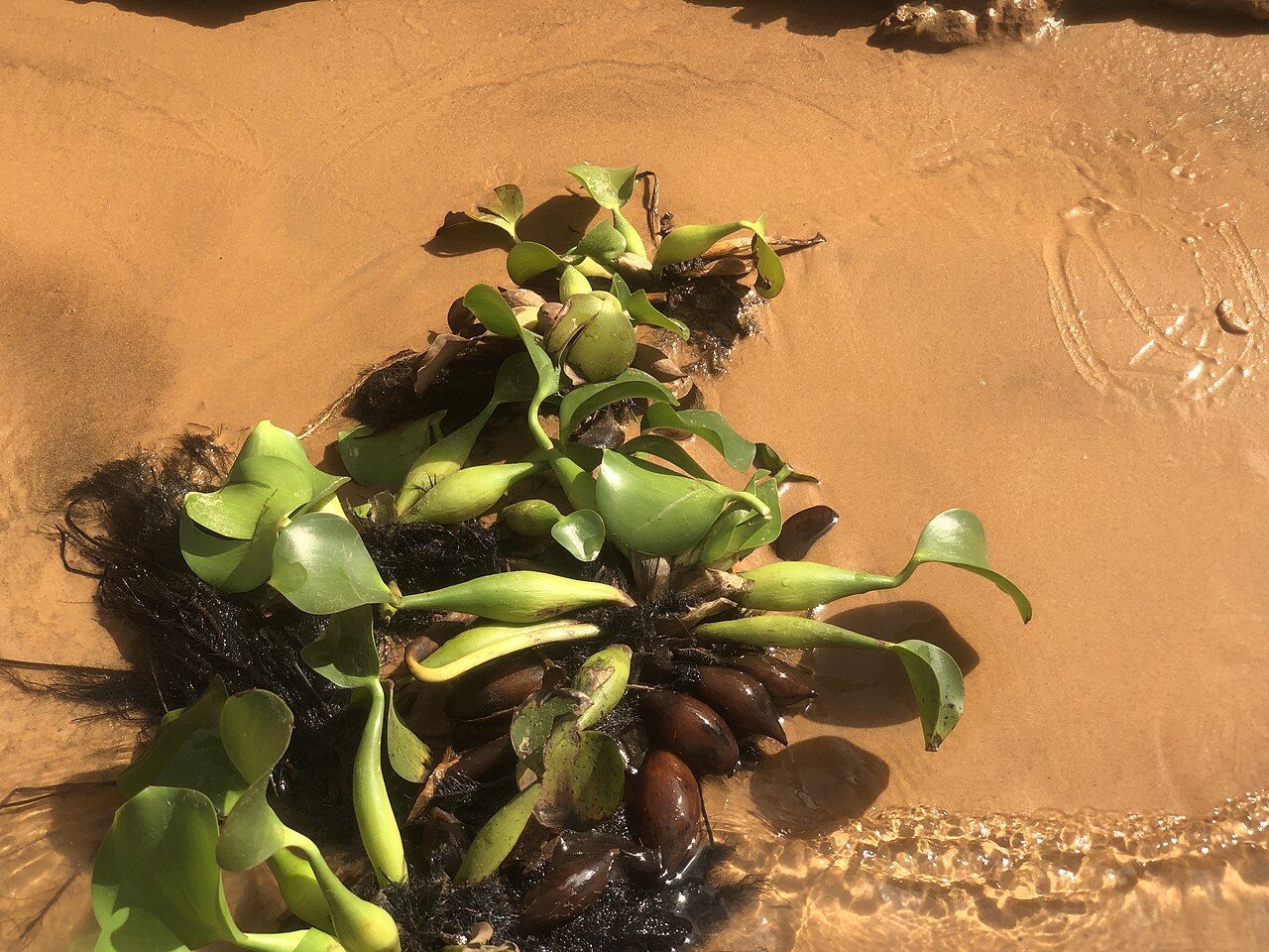
Frequently Asked Questions
Who is Niger River in Rivers Of The World?
Niger River is the dominant waterway of West Africa, stretching roughly 4,180 kilometers from the Guinea Highlands in southeastern Guinea all the way to the Gulf of Guinea. It ranks as the third-longest river on the African continent, trailing only the Nile and the Congo.
What role does Niger River play in the world of rivers?
The river serves as the lifeblood of four nations—Guinea, Mali, Niger, and Nigeria—supporting millions of people along its course. Its massive drainage basin covers over two million square kilometers, making it one of the most ecologically and culturally significant waterways on the continent.
Why is Niger River's shape so famous?
The river traces a dramatic crescent or boomerang pattern as it flows east, then north, then west before turning south again, a route that confused European cartographers for centuries. This unusual course is one of the most recognizable features in all of West African geography.
What are Niger River's key stats?
The river spans approximately 2,600 miles and feeds into the Atlantic via the Niger Delta, with the Benue River serving as its principal tributary. Its drainage basin encompasses roughly 2.1 million square kilometers of land across multiple countries.
What is the Inner Niger Delta and why does it matter?
Located in central Mali, the Inner Niger Delta is a vast wetland of braided channels and seasonal marshes where the river slows and spreads out. It supports one of the richest fishing and bird habitats in West Africa and is a critical stopover for migratory species.
More in Rivers Of The World 1-20
Spotted an error? Know more?
This is a living reference — every entry is fact-audited, and reader corrections feed straight into our audit queue. Suggest an edit · See this site's audit record